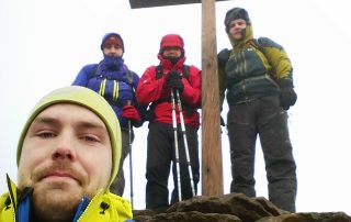
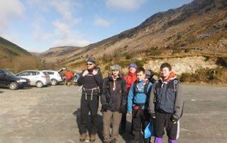
The Comeraghs are located in the centre of County Waterford and there is not a day in the year without mountaineers, hillwalkers and climbers out enjoying them. They are definitely one of the finest ranges in Ireland and have an unparalleled mix of mountain features. There’s the long and precipitous Knockanaffrin Ridge, the magnificent plateau, the falls in Coum Mahon, the mysterious Foill an Priosun, the tremendous variety in the coums of the Nire Valley, the surprising Coum Iarthar, the historic Crotty’s Lake, the wealth of flora and fauna and most of all, the shadowy depths and astounding glacial amphitheatre of Coumshingaun (below).

The Comeraghs are well covered in the Ordnance Survey of Ireland’s Discovery Series No.75 Map (Second Edition) and a number of good walking routes are described in “Best Irish Walks” (Edited by Joss Lynam and published by Gill and Macmillan). Another excellent book but unfortunately out of print is the 2nd edition of “A Guide to the Comeragh Mountains” by Declan McGrath. It deals comprehensively with how the Comeraghs were formed, what lives in them, what use is made of them and why they should be cherished and protected.
Overall the Comeraghs and particularly the Nire valley are included in almost all of the many guide books to the Irish mountains. Rock climbers in search of adventurous climbing on atmospheric cliffs can find up to date information for all of the main climbing areas in the Irish Climbing Route Database.
A Description of the Comeraghs
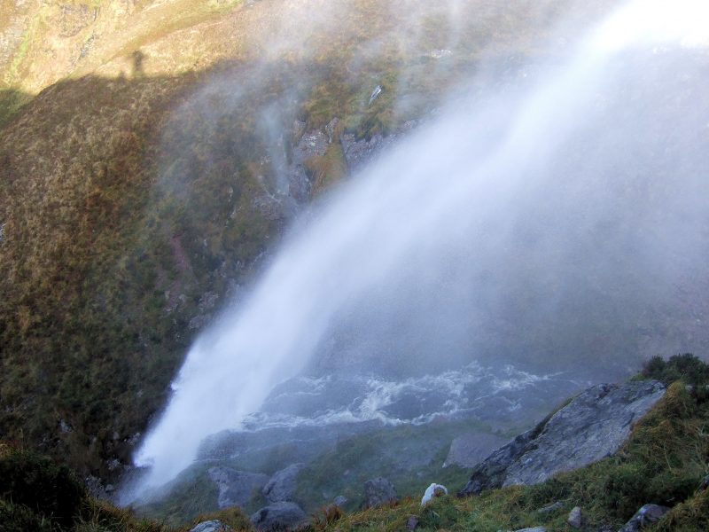
Probably the most well known area of the Comeraghs is Coum Mahon, better known as the “Mahon Falls”. The valley does indeed have a very impressive waterfall surrounded by striking cliffs and its easy access from the main Waterford to Cork road and its large car park means that it is a very popular destination for day trippers and tourists and during the summer and at weekends it is usually very busy. The walk up the left hand side of the valley onto Comeragh Mountain (668m) itself is a hard slog but the views from the top out to Dungarvan bay and the whole Waterford coast make it well worth it.

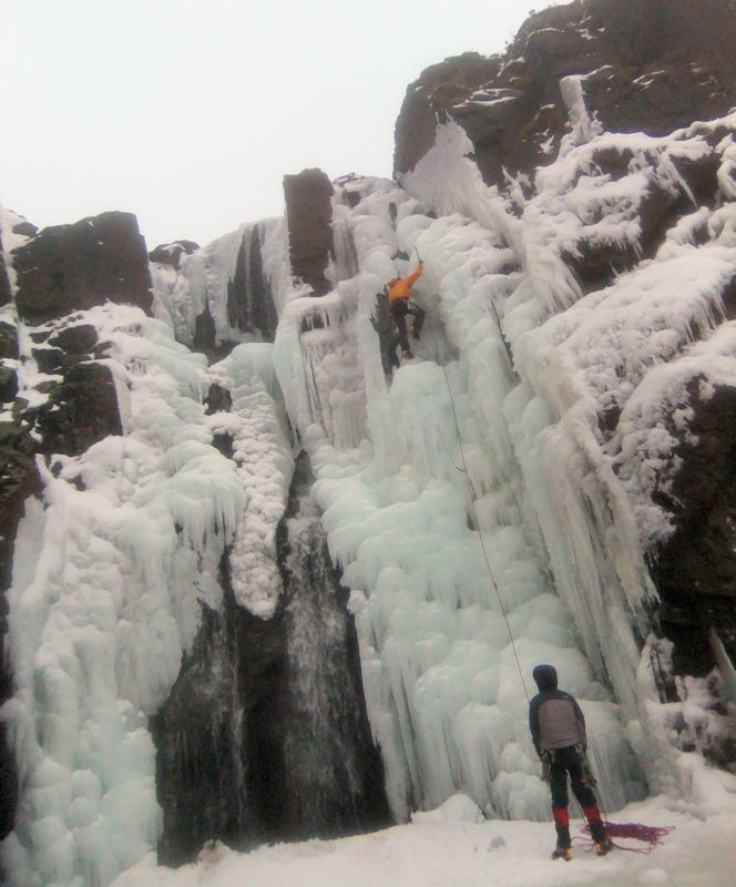
On the right hand side, the valley is overlooked by Knockaunapeebra (726m, in Irish it’s Cnocan an Phiopaire: The Hill of the Piper) which has two distinctive cairns at the top. There is an excellent view of the entire Comeragh plateau from here. A circular route ascending the left hand side of the valley and crossing the top of the falls before heading up to Knockaunapeebra makes for a very enjoyable short hike. Descent can be made along the spur on the right hand side of the valley. Those who want a scramble and have more experience can ascend through the centre of the falls, keeping to the left of the river and there are some interesting nooks and crannies to be explored as the water makes it’s way downhill. During cold weather parts of the falls may be frozen, giving very occasional sport to patient local ice climbers. Check out: Irish Ice on Youtube.
On the way up to the Mahon Valley car park, about 500 metres past the cattle grid on the “Magic Road”, there is a stunted tree on the left hand side. If you stop here and put your car into neutral it will roll magically back up the hill. This is a well known and unexplained phenomenon which really does work. Just be careful that there are no cars behind you!
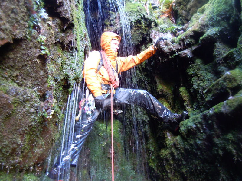
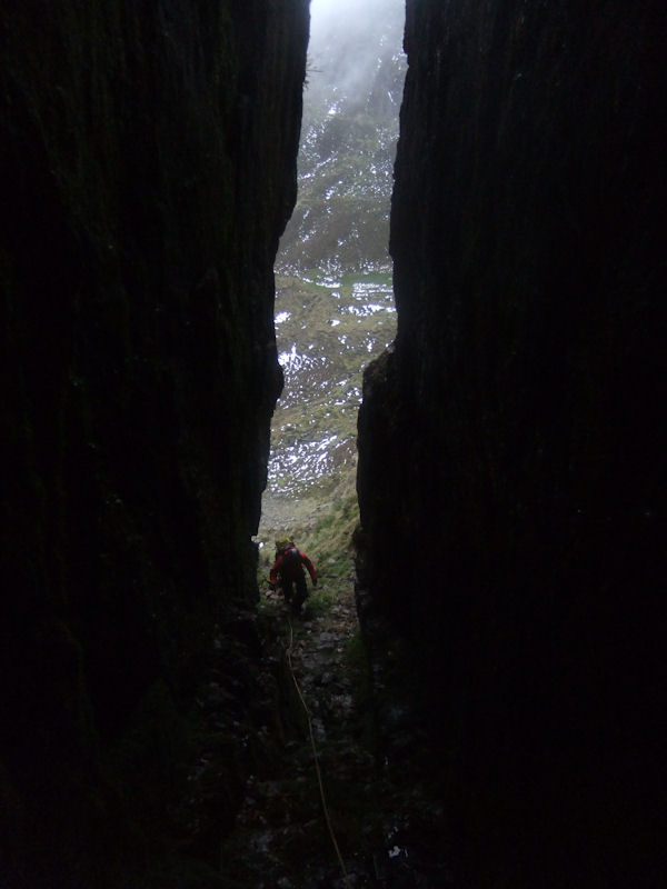
Next door to Coum Mahon is the Coumtay valley which can be approached from the upper Mahon Falls carpark. There are a number of small lakes at the top of the coum and if you make a high level circuit around the lakes, you can sneak over and have a look down into the Coumalocha in the Nire valley. There are also excellent views across to Seefin (with it’s unfortunate MMDS hut) as well as Coum Eag (the valley of death) and the Farbreaga (false man) horseshoe. There are a few scramble worthy gullies in Coumtay also and a number to challenge even the rockclimber. The most challenging is third in from the right which has an ascent up through the roof of a cave and then up a dreadfully wet crack. Bring a rope and be prepared to be get very wet. Comeragh gully climbing is an acquired taste and is not very widely practiced but it can be very rewarding. Experience on steep ground is essential and familiarity with canyoning can be an advantage. Watch out for the dead sheep.
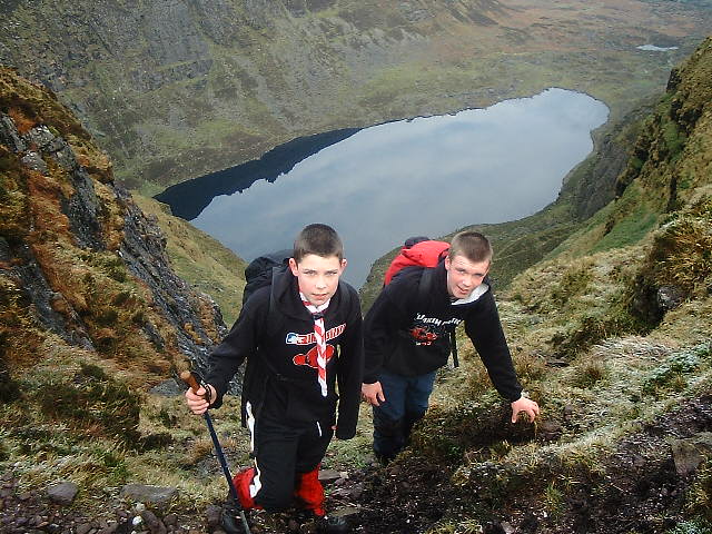
The next most well known area in the Comeraghs is Coumshingaun (Com Seangan: pissmire valley also translated as hollow of the ants), which is said to be one of the best examples of a corrie lake in Europe. It’s a spectacular coum which impresses you no matter how often you visit it. You can make a circuit of the lake by going up either on the left or the right hand side although it is probably harder to descend the left hand side which is above the north facing cliffs. The best written description of Coumshingaun can be found in the ‘Visitors Guide to the Comeragh Mountains’ by Patrick Werner, published by the Blackstaff Press in 1978 and which can be viewed in the Waterford Room of the Waterford City library: “It is difficult to know how to write of Coumshingaun itself. Whether you speak of it as the geography textbooks do, as a magnificent example of corrie glaciation with the loch held up by a large black moraine or whether you see it as a guidebook says ‘of unknown depth, associated with irresistible currents and evil spirits’, in short whether you are practical or romantic, you are certain to be impressed”.
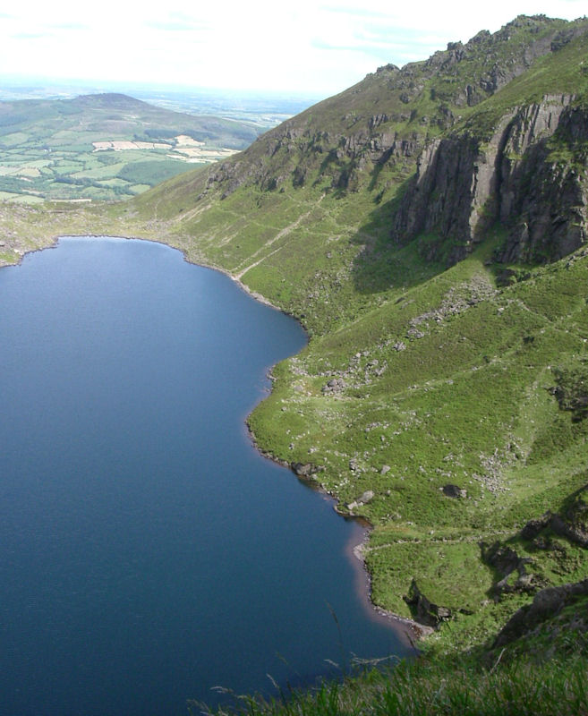
He adds: “It is about a mile long, roughly pear shaped, widest at it’s western, precipitous end and except in winter when small streams flow down the precipices in headlong cascades, not visibly fed from any source . . . The water of the lake is constantly rippled by changing winds, sometimes steely blue in the sun, more often inky black, and always cold, though fish live in it. It is odd to speculate how they came there. I have seen it through a dazzle of sunshine, through swirling clouds of snow, through driving rain hissing off its surface and appearing and disappearing as mists eddied up and down the precipices and I have never failed to find it beautiful. Perhaps it is best to leave it at that”.

Coumshingaun also has some of the best rock climbing routes as well as gully ascents in the range. In particular the large gully on the left hand side of the back wall is a thoroughly enjoyable scramble. The highest point in the Comeraghs at 792 metres is not far from the top of Coumshingaun and it is marked by a cairn. It is not a summit by any stretch of the imagination but when you are there on a clear day the expanse of the Comeragh plateau which rolls out from you in every direction is hugely impressive. Traversing the plateau in any direction involves careful footwork across the infamous Comeragh bog. Occasional visitors are often put off by this and are left with a memory of the Comeraghs as ‘very boggy’ which is quite unfair. With practice the blackest parts of the bog can be easily avoided and for regular visitors, floating across the bog is just another part of the magic of the range.
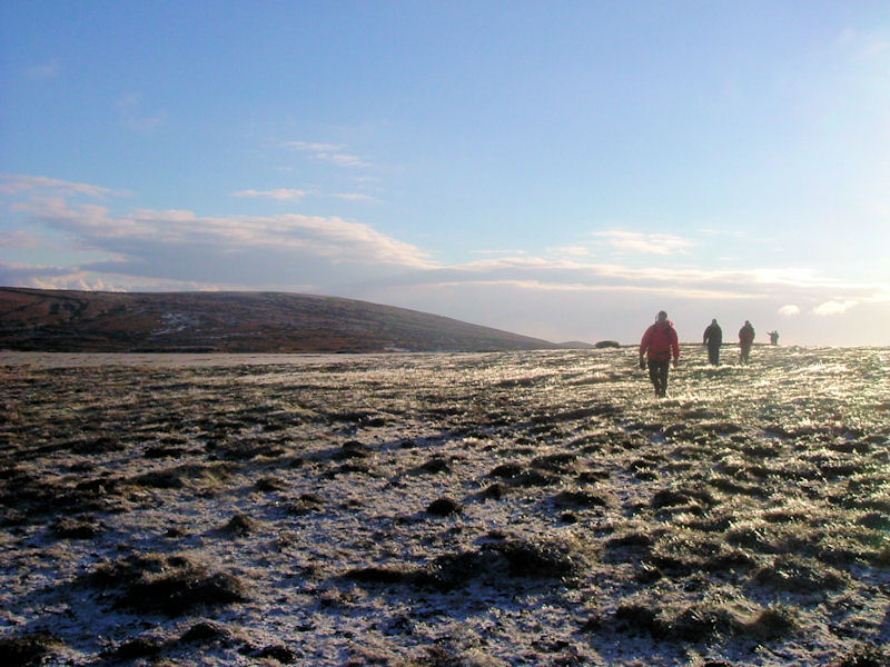
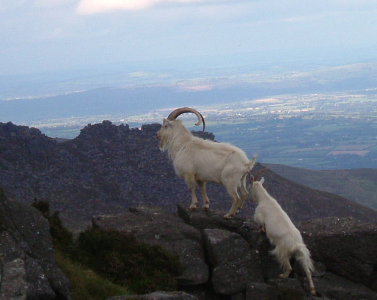
On the left hand side of Coumshingaun lies the silent corrie of Fauscoum (wild growth hollow) which makes its mark by not having a lake. Interestingly the name of Fauscoum has on occasion been used in error for the 792 spot height, thanks mainly to an Ordnance Survey printing error but clearly a mountain top was never meant to be called a wild growth hollow! Next door to Fauscoum is the mysterious Foill an Priosun whose cliffs are incredibly striking even from the road. High upon them an elusive herd of about 20 wild feral goats have made their home. Further on again is the wide and occasionally interesting rocky ridge behind which lies Coum Mahon.
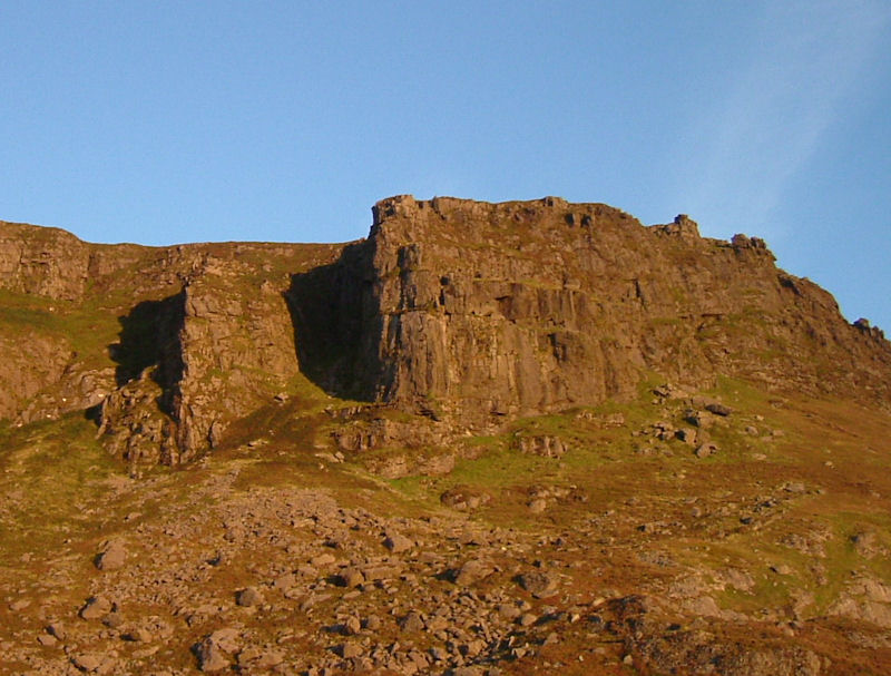
Working your way out to the right from Coumshingaun you must firstly watch out for the Uisce Solais (water of light) stream which has some beautiful falls when the water level is high and occasionally freezes in winter. Further on again is Lough Coum Gabthartha which is better known as Crotty’s Lake. William Crotty was a famous Waterford highwayman who was hung, drawn and quartered in the city in 1742. His hiding and look out place was a cave which overlooks the lake and after he was betrayed and captured, his wife threw herself from Crotty’s rock to her death on the cliffs below. To the right of Crottys is Coum Iarthar which is quite a long and beautiful valley and which has three small lakes. There is no more peaceful place to camp or stop for lunch in the Comeraghs. Both Crotty’s and the Coum Iarthar can be approached from Rathgormack and are close to the Gap in the Nire valley.
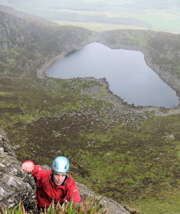
The Nire valley is a treasure trove of coums and lakes and is a fantastic area for a variety of walks of different lengths. Most people start from the car park which is well signposted from Ballymacarbry but there is also a track which runs over the Gap from the Rathgormack side. Walks can vary from the 6 kilometres up and down to the Sgillogue Loughs or the excellent 20 kilometres which make up a full circuit of the Nire Valley. Take care crossing the Nire river as it can be difficult to cross especially after heavy rain. There is a useful bridge at S273 125. The Nire circuit starts by ascending the right hand side of Lough Coumfea (deer hollow) which at 520 metres is higher than the other lakes in the valley. Coumfea is separated by an arete from the beautiful Coumalocha which has two very impressive lakes and makes a great lunch stop.
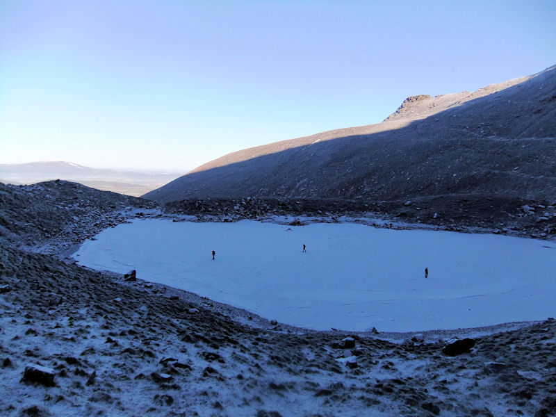
From Coumalocha you can make your way across the two spot heights at 744m and 730m which overlook the upper Mahon valley and the plateau. The next stop is the Sgillogue Loughs (the hollow of the cut-off halves) and you could descend (or ascend) the spurs on either side of them. If you have time however you should walk down through the next valley along which is called Coumlara. There is no lake in it but it is very tranquil. Alternatively the steep spur further on that runs directly down into the Gap can be descended with care. You can follow the waymarked path or the river down to the car park from the Gap or if you’re really out for a good day, from there make the rocky ascent to Knockanaffrin (755m, in Irish Cnoc an Aifrinn: the hill of the mass).

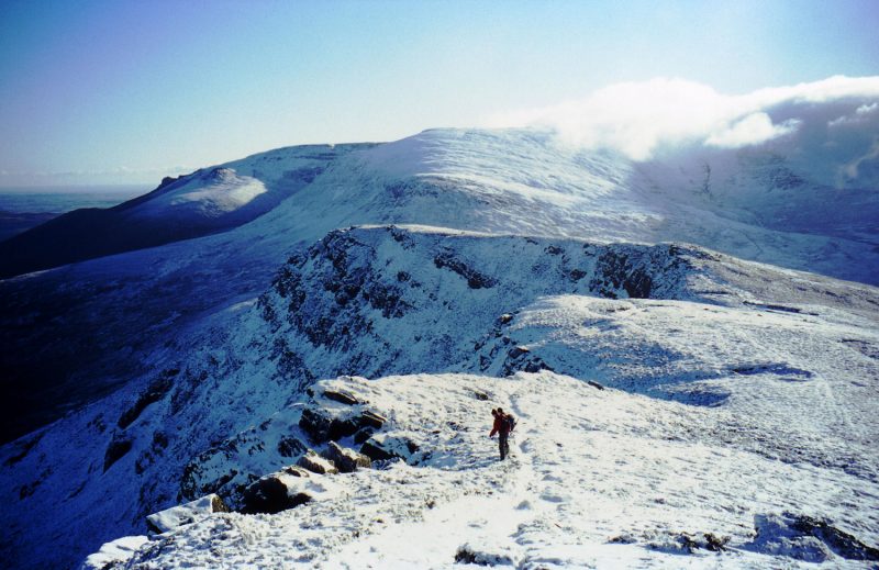
Knockanaffrin is a much more impressive high point then 792 above Coumshingaun and the views into Coumduala Lough as well as Lough Mohra as you make your way along the ridge are excellent. Really the ridge should be done as a separate walk so that you can take in Shauneenabreaga and Knocksheegowna as well. A popular starting point for Knockanafrinn is to walk through the forest to Loch Mohra from where you can ascend a spur and then head to the summit. From the top you will be able to look across to Clonmel and the valley of Slievenamon. The Blackstairs and Mount Leinster can also usually be spotted and on an exceptionally clear day you should be able to make out the Wicklow Mountains (definitely a lesser range!). When there is fog, you must be extra careful when descending back down to Mohra as groups have been known to get confused and end up on the wrong side of the ridge.
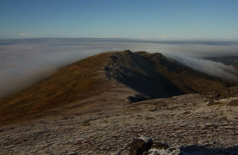
Obscuring the view of the town of Clonmel from Knockanafrinn are the outlying Comeragh peaks of Lachtnafrankee with its punchbowl and Long Hill. These are most often ascended when you are completing your complete Comeragh traverse from Dungarvan to Clonmel. The Dungarvan Hillwalking Club and the Peaks Mountaineering Club both organise long distance traverse type walks in the Comeraghs each year called the George Harney Memorial Walk and the Comeragh Bogtrot respectively. The full Comeragh traverse is best experienced in a small group however. Drop a car in Clonmel and then drive around and start on the far side of Crohaun near Dungarvan. Take in Crohaun, Farbreaga, Seefin, the top of Coumtay, Knockaunapeebra, 792, the top of Coumshingaun, the top of the Coum Iarthar, down to the Gap, right along the Knockanafrinn ridge, across Lachtnafrankee and Long Hill and down into Clonmel. Its just as enjoyable in the other direction but it’s not an outing for the fainthearted. However no other Irish long distance high level walk comes close to its quality.
Close to the Nire valley and sometimes known as the Moin an Mhullaigh Mountains is the area which contains Seefin (Suidhe Finn: Fionn’s Sitting place) and Farbreaga. Seefin has a large track running up the side of it and has been quite spoilt by the hut and enclosure at the top of it. However there is an interesting walk from Dalligan bridge up to Farbreaga, around the horseshoe and then down to the col before the ascent to Seefin. This area is of particular historical interest as there is a standing stone at the col and three ancient cairns on Seefin including one close to the trig point at the summit. There is more information on the ancient monuments in the Comeraghs and the rest of County Waterford at www.prehistoricwaterford.com. From Seefin you can navigate across to the Nire or Mahon valleys or alternatively descend down along Tooreen (little cattle field) mountain and Milk Hill. A much more enjoyable and unspoilt ascent of Seefin can be had by traversing in from Coumtay and ascending to the summit up its north side through the rarely visited Coum a Chnocain (Hollow of the Little Hill).

All visitors to the Comeraghs will be impressed by the numbers of birds and other animals that inhabit or visit the range. There are over eighty species of birds in total that frequent the range which makes it a haven for ornithologists. Most notable is the peregrine falcon which is definitely the ‘monarch of the coums’ and their presence at Coumshingaun in particular is hard to miss. In the summer months meadow pipits are the most widespread bird and the loud call of the ravens that inhabit every coum all year round is unmistakable. In terms of mammals, there are many foxes and rabbits in all areas of the range. Occasionally Irish hares and pygmy shrews can be spotted and in the lower areas there are small numbers of fallow deer, stoats and minks. The tell tale ripples in the lakes confirm that there are fish in most of them with brown trout being the most common. Observant visitors will also spot the small selection of butterflies, moths and dragonflies which can be seen. You don’t need to be quite so observant to spot the often plentiful black slugs and at times in autumn the midges can be a real scourge. Regardless of your ability to identify the many creatures that inhabit the Comeraghs an awareness that they are there and a moment taken to look and listen for them is always time well spent.

Geologically the Comeraghs have been in the making for about 500 million years and it has been a turbulent history the result of which is that they now dominate the landscape of County Waterford. They were formed when many different sediments were cemented together resulting in the range’s composition of mainly conglomerate rock in which sandstone features strongly. The ice age also left a dramatic impact carving out the numerous coums and leaving the cliffs and aretes which can be seen today. This geological history combined with the obvious impact of man have resulted in the vegetation types seen throughout the Comeraghs today. There are three species of heather in the range and the purple blanket of colour which can be seen in the autumn when it flowers is a sight to behold. At the same time of year the widespread bracken can be a challenge to walk through at times. There is very little natural woodland remaining but there are occasional clusters of rowans and holly and hawthorn trees are also to be seen in places. The Comeraghs also boast the carniverous sundew as well as a reasonable selection of other flowering plants with a number of rarities thriving on the high cliffs. Overall there is plenty to occupy the nature specialists but fortunately it takes little knowledge to admire the rich variety of flora and the fantastic colours which it brings to the range.
The Comeraghs are a range you’ll never tire of visiting. Like many ranges it is gradually changing and in some ways it is under threat. Problems include the encroachment of unwanted bracken, the undesirable visual impact of conifer forests (the Mahon valley has been markedly improved by the removal of the forest there), there has also been some poor road construction and siting. There are many agricultural activities occurring around the Comeraghs but the most common is sheep grazing which needs to be managed carefully so that a balance between protecting the upland area and sustaining livelihoods and the population is maintained. The proliferation of unnecessary and inexplicable sheep fencing continues apace and is very regrettable. The most offensive man made building is the MMDS hut at the top of Seefin, the road running up to it and the fenced in enclosure there. It was originally erected illegally in 1979 but planning permission was subsequently approved for it. It would be welcome if this area could in some way be restored.
Obviously the Comeraghs attract many visitors and the numbers are increasing each year which is having an adverse effect in some areas close to roads. For example in recent years there has been noticeable erosion on the higher parts of the ridge on the left hand side of Coumshingaun. However as Declan McGrath states in his book ‘the damage to the open slopes arising from the pressure of numbers visiting the range is not any way near as severe or as obtrusive as the necessary roads and tracks that some would argue are essential to draw visitors (and particularly their cars) to the range’. The impact of visitors to the range will have to be closely monitored and any new developments examined carefully.
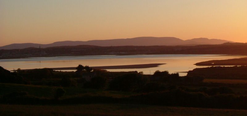
It would be a dream for the Comeraghs and other such magnificent and scarce Irish upland areas to become protected national parks in the future. Sadly the preservation of these outstanding areas for future generations is not seen as a high priority by the public or by government and the mountaineering community itself needs to do more to raise awareness of the issues of both conservation and access. Access to the Comeraghs through farmland where it is necessary has to date been mostly hassle free but that is not a situation which is guaranteed for the future. For example, the landowner at Crotty’s has taken the lamentable step to close access to the land there. Hopefully there will be no further cases of this type but without a right to non-intrusive access through lowlands and an unequivocal right to freely roam the mountains, continued access to the beauty of the Comeraghs will never be assured. These are rights which exist across most of the countries in Europe and sooner rather than later they will have to be fought for in Ireland. One can only hope however that the inspiring beauty and wild attractiveness of the Comeraghs will be around to be enjoyed for many years to come.
Accommodation and Camping
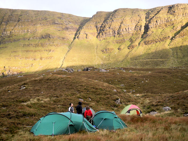
There is camping and caravanning facilities available at Powers the Pot (powersthepot.com) which is close to the Nire Valley and there is hostelling at the excellent Rathgormack Hiking Centre (051-646172). Generally wild camping can take place in most areas of the Comeraghs. However it should be remembered that almost all of the Comeraghs are used by farmers for grazing sheep and camping should be undertaken only in a responsible and environmentally sound manner. If there are houses or farms nearby permission must first be obtained. Under no circumstances should fires be lit; care must be taken to avoid polluting streams or lakes; damage to walls, fences and gates must be avoided and absolutely no rubbish should be left behind. Bins are provided in most car parks but you should bring your waste home. If you come across any rubbish or waste in the mountains, then do your bit and take it home. The principles of Leave No Trace are the order of the day.
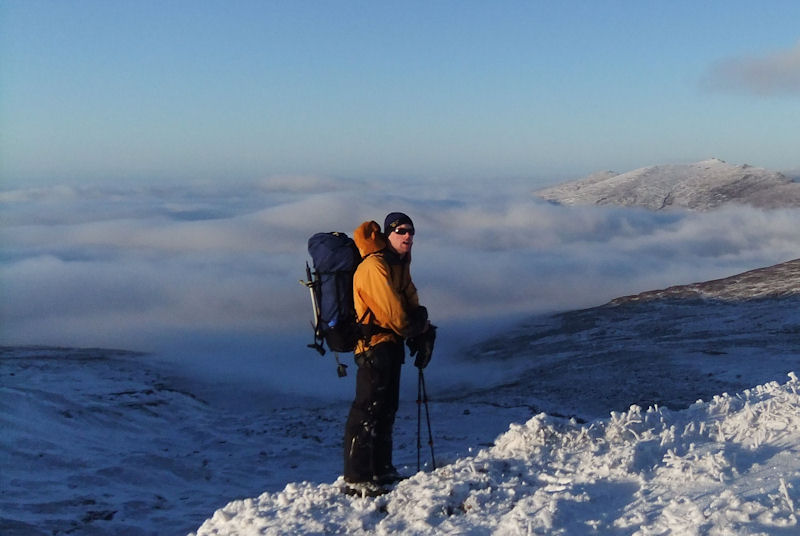
The Comeragh Mountaineering Club in Waterford City, the Dungarvan Hillwalking Club and the Peaks Mountaineering Club in Clonmel arrange regular walks of varying difficulty in the range. The best thing to do though is just to go and remember that as with all mountain ranges which have many coums and corrie lakes and the cliffs associated with them; care and good navigation are essential for safe and enjoyable walking.
Rock Climbing in the Comeraghs
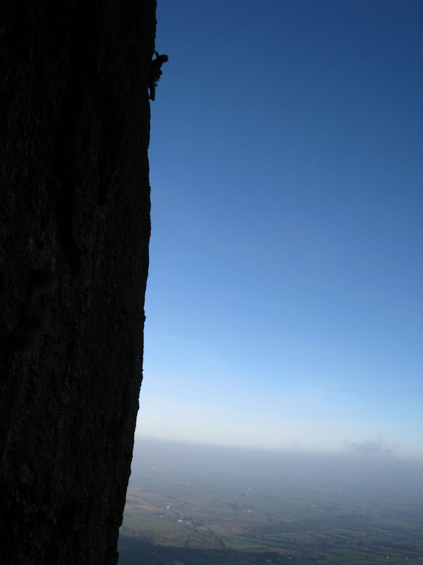
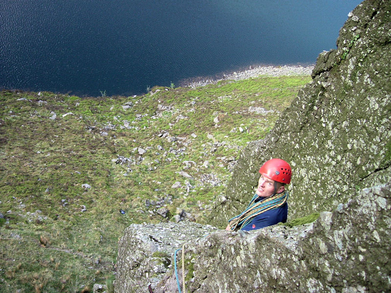
‘The Comeragh mountains and surrounding areas have much to offer the rock climber, from long airy mountainous routes on the East Facing cliff of Coumshingaun, to hard technical routes on its North Facing cliff’ *. But the question that the Rathgormack Climbing Club crew are most often asked is whether all the climbing in the Comeraghs is hard? Fortunately the answer is no and for those whose climbing is focused in the lower to middle grades, there are number of routes on the conglomerate which come highly recommended.
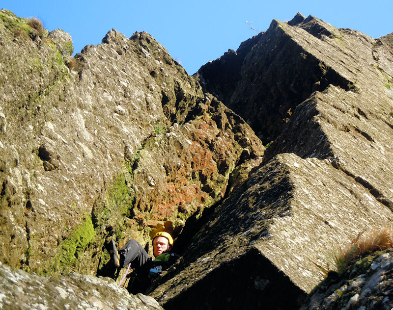
Starting on the North Facing cliff at Coumshingaun, Karaluk (HS 4b) is enjoyable once you have powered up the gully to its base and just down from it on the east wall is Harvest Moon (HVS 5a/b) made worthwhile by an examination of its ‘detached block’. Between there and ‘A Walk on the West End’ which is the arête at the very end of the cliff, there are a decent number of single and multi pitch routes from VS to E2 if that’s what you’re after.
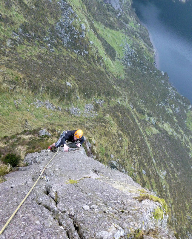
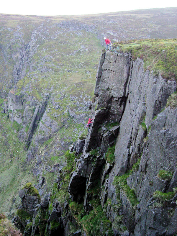
First along on Emperor Buttress is the very recent HVS addition called Kishon on which you should be prepared for a bit of everything. Just a little further on is probably the Coum’s most famous climb, Dark Angel (HVS 4c, 5a), the top pitch of which is as good a HVS outing as you will find anywhere in Ireland. It is a little mossy in places but this makes for very satisfying jams. It’s well protected and like for most routes in the Comeraghs a well stocked rack is useful. To its left of course is the outstandingly situated Emperor’s Nose (E2 5c, 5a) which is definitely a three star route. A patient belayer is useful as the start is quite hard and higher up it includes the wildest swing out onto an arête for a single hold that you will ever make. In order to get the hold you have to half fall off the route!
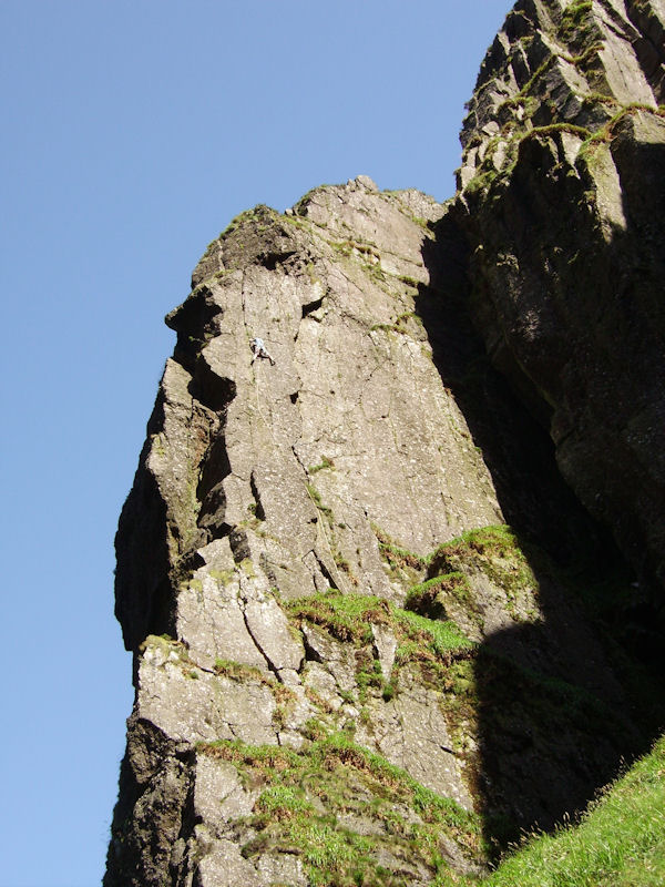

Moving along to the Main Face, Cuinne Flaithiulach (HVS 5a, 4b, 5a) has a tricky approach and dries out very slowly but has some great moves particularly up through its overhang. Crooked Smile (HVS 4b, 5a) is a very unusual route and both the deep mossy chimney and the move out onto the arête after the overhang are excellent. Good rope management is required on that pitch. From the first pitch of Crooked Smile, the impressive Atom Ant Wall can be accessed which has 5 challenging routes including the classic Tyger Tyger (E2 5c).
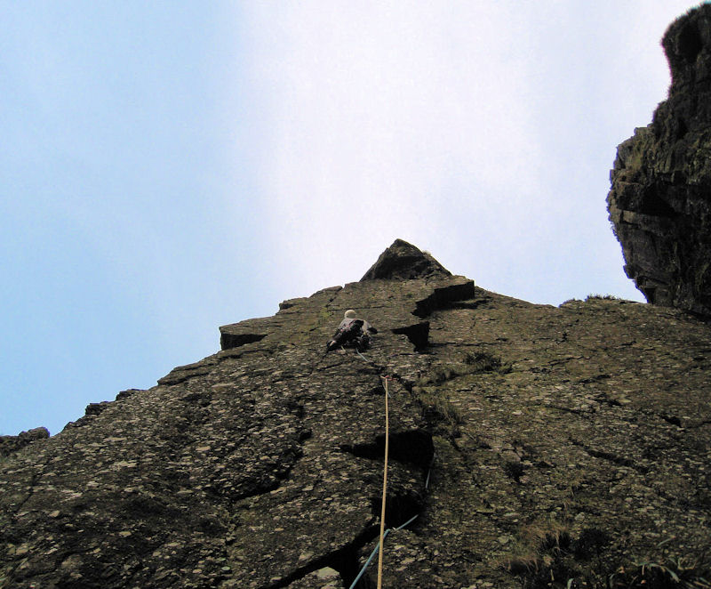
Moving along to the West Face you are confronted with the mysteriously named Filamingo which is a 45m single pitch HVS 5a. It’s a sustained and continuously interesting journey and you will need lots of gear and extenders. Further to its right lie the duo of Antsy’s Desire (HVS 4b, 5a) and The Tailor (HVS 5b). Antsy’s in particular has a great top pitch. Finally the cliff runs out at A Walk on the West End (VS 4b, 4c) which is a thoroughly enjoyable climb and has an impressively exposed finish.
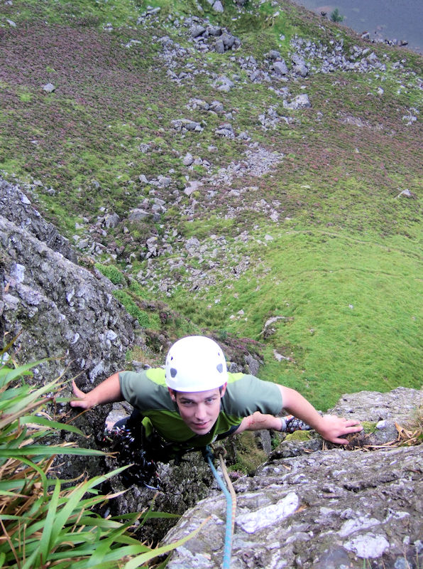
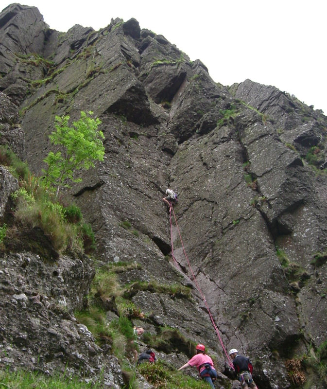
Like Fair Head overall there is not too much at Coumshingaun for climbers operating below HVS but at around that grade and above there is plenty to keep you busy. There are of course some outstanding harder routes, many of which like Talking God E4 6a have only had a few ascents. I hear that Sleep of Reason (E3? 6a?) has recently been attracting attention – it’ll go yet! For all routes it goes without saying that Coumshingaun is a true mountain crag – a few days dry weather is needed for most routes to come into condition, there can be midges (although these haven’t been as bad in recent years), it can get chilly on the North Face, there may be peregrines, if climbing during the night slugs will slither from the cracks, there is vegetation and you might have to get your hands mucky and do a little cleaning. We will be delighted if you find the shovel we lost somewhere on Emperor Buttress.
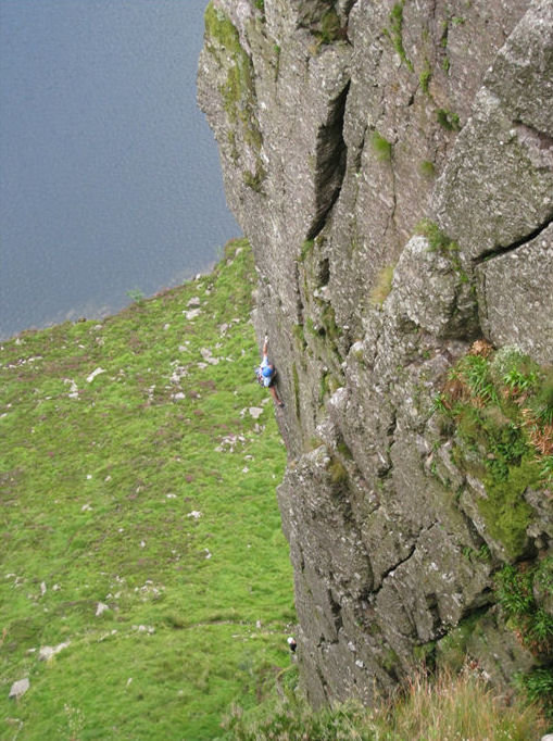
The Coum is not just the North Face however and the east facing cliff is possibly the closest Ireland comes to having a big wall. it is a truly adventurous place. Most of the routes there have only had two or three ascents and only very occasionally come in to condition. It has been our hard earned experience that around two weeks of dry weather is useful before heading that way. On the lower tier take a good pair of hiking boots and a hedge trimmer for Prelude (HS!) while Meconopsis (HVS 5a) and East Face Direct (HVS 4c) will also land you on the mid terrace with your heart pumping, although it not quite the same way as the startling To Sweep the Spanish Main (E4 5c) might. The Upper Tier includes Colossus VS 4c and by far the best of the east face crop – Gargantua (HVS? 5a). Start early if you want to make a rare complete ascent of the cliff from lake to plateau.
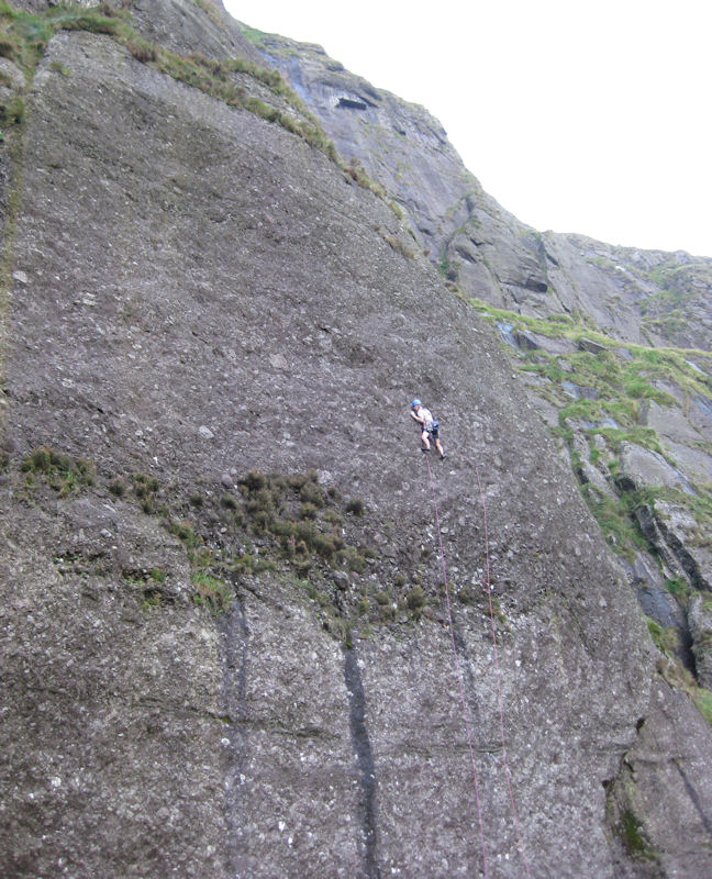
The main South Facing Cliff offers just a small number of accessible routes. The routes are not as engaging as elsewhere but it’s usually sunny over there. Stevedores (VS 4c, 4b) has an excellent first pitch. Just beside it are Monkey Business and Ser Visal’s tail, both HS 4b but be warned, the area above both those climbs is very overgrown. At the top of those two, you can also find the useful exit climb Devices and Desires (HS 4b).
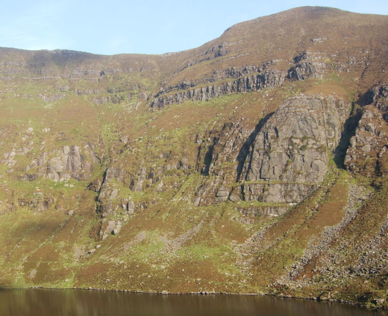
Overall there is lots of potential for exploration and new development by climbers at Coumshingaun with only small areas within the north facing cliffs having anything approaching route saturation. There aren’t too many crags in Ireland that have yielded almost twenty new routes in the last three years. Most of the areas can realistically be reached within a brisk 50 minutes from the main carpark and there is certainly no queuing for routes.
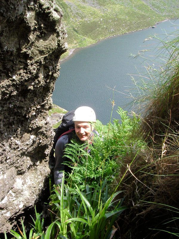
Elsewhere in the Comeraghs, Coum Mahon, Coum Iarthar, Coumtay, Fauscoum, Foill an Priosun and Crotty’s Rock offer an eclectic variety of routes. The Dreaming (HVS 5a, 5a) for example is one of the highlights at the infrequently climbed Coum Mahon. At Crotty’s Rock Ong Gong Arete (HVS 5a) takes the longest possible line up the main face while Maha Mind (HVS 5b) is a harder and very enjoyable variant. Blue Vista (S) in the gully on the South West facing side is very good and has a number of interesting neighbours, although none of these have had known recent ascents.
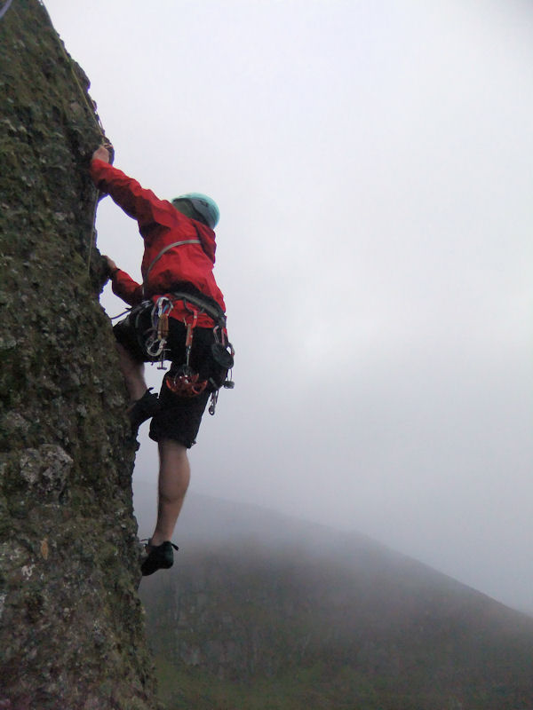
Foill an Priosun is the cliff which overlooks the road before you reach Coumshingaun from the Dungarvan side. It has a somewhat different character to climbing in the Coum and it has the advantage of being mostly south facing so it comes into condition more quickly. Thunder on the Mountain (VS 4c, 4c) is a nice outing while the first pitch of Greeted by Ants (HVS 5a/b) should not be underestimated. Further up the gully lies Echo Crack (E2 5b, 5c) which has two testing and exciting pitches. Jailbreak (E3 5b,5c,4c,5a,5c) can only be described as an extravaganza and you will never forget the traverse pitch. Around on the east facing cliff Running on Empty (E1 5b) is an immaculate pitch.
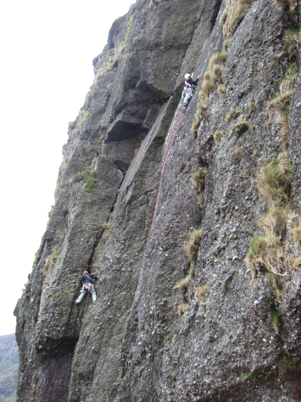
In damper conditions every single coum in the Comeraghs has gullies that can provide very exciting days out. The Southwest gully at Coumshingaun is well travelled but gully aficionados will search out the likes of Dead Sheep’s Gully in the Scillogues.
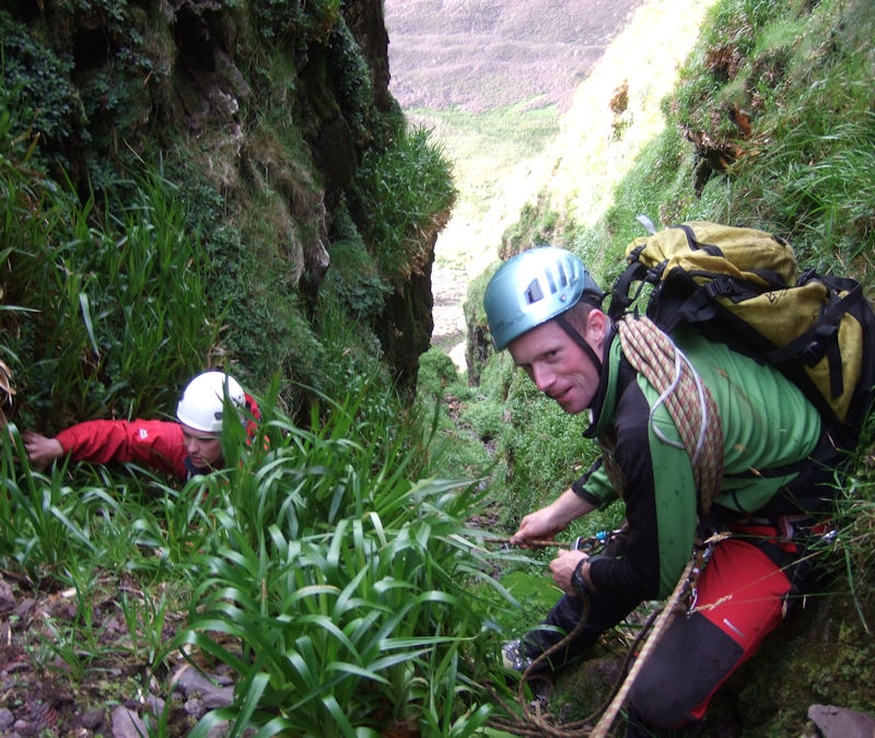
Whatever you take on, a day or an evening hanging off a cliff in the Comeraghs is an essential experience for any Irish climber. The biggest warning I can give is about the effect that topping out on a route on Coumshingaun as the light fades may have on you. Sitting in the heather after all that satisfying jamming a trout will break the surface of the lake in the most serene and beautiful coum in Ireland. You might never be a normal climber again.
